|
Tredyffrin Easttown Historical Society Home
: Document Collection Home
Use the links at the left to return.
|
Document Collection |
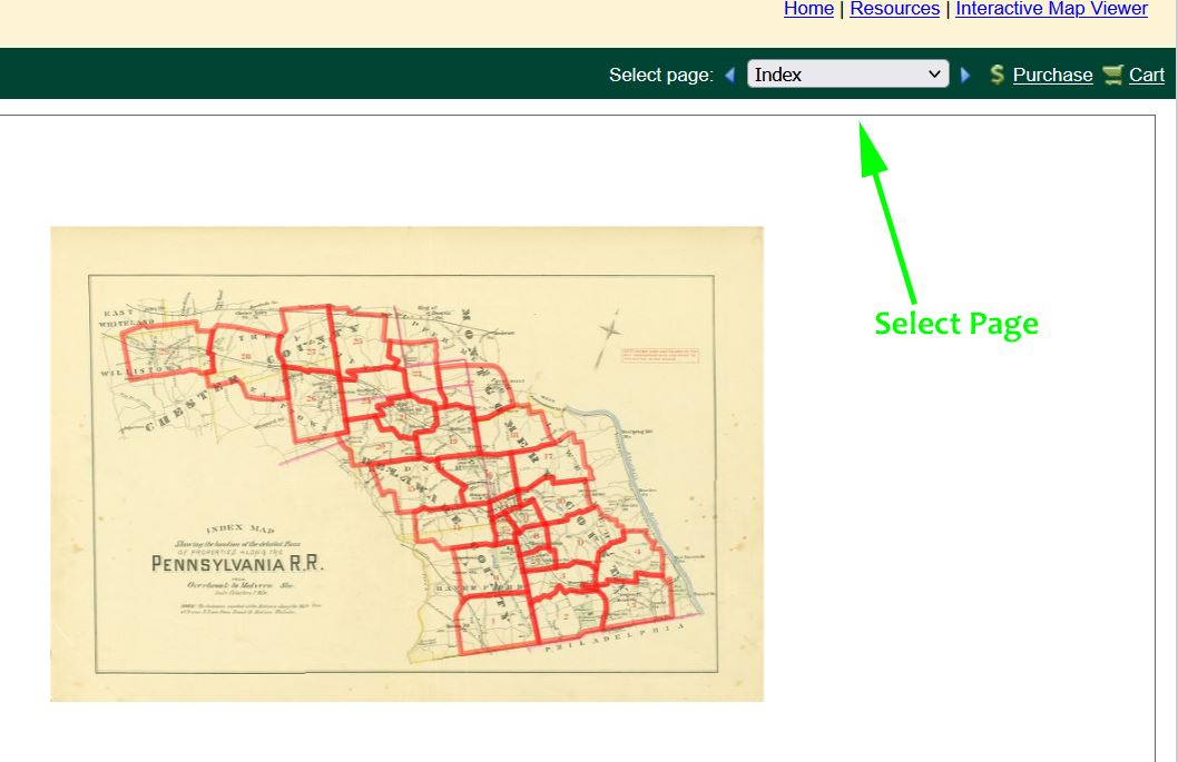
Maps and AtlasesIn the Tredyffrin - Easttown area maps and atlases are a great resource for local history research. Most of these maps and atlases are available online. The coverage of these atlases is variable, especially those that were sponsored by the Pennsylvania Railroad, which focus around the Main Line. No map is 100% accurate but the quality of these atlases is good and only occasionally do they seem to err, and then only in small ways. There are 2 comprehensive online resources, Andy's Antique Atlases, and Radnor Historical Society list. To view a map in Andy's list, first go to the relevant index of maps and choose the map number you wish to view. Then go to the Selection page and click on the map. To view a map on the Radnor list, go to the index of maps and select a map. Then select the page you want in the top right of the page. See the example below:
The atlases in the following list are, in most cases, available on both the resources. There are small variations between the resources so if one does not quite provide the information sought, it is worthwhile looking at the other resource. The first atlas covering Tredyffrin and Easttown was published in 1873. Earlier maps exist of lower resolution, but no atlases. 1873 Witmer's Atlas of Chester County. This does not give property boundaries but does show houses and names the owners. Andy's Links: Easttown, Tredyffrin, Index of maps. Radnor Links: Easttown, Tredyffrin, Index of maps. 1883 Breou's Atlas of Chester County. These maps do give property boundaries as do subsequent atlases. Andy's Links: Easttown, Tredyffrin, Index of maps. Radnor Links: Easttown, Tredyffrin, Index of maps. 1887 J. L. Smith's Atlas. Andy's Links: (Partial coverage of Tredyffrin and Easttown townships) Index of maps and Selection page. Radnor Link: (Full coverage of Tredyffrin and Easttown townships.) Index of maps 1897 A. H. Mueller's Atlas. Full coverage of the local townships.Andy's Links: Index of maps and Selection Page. Radnor Link: Index of maps 1900 J. L. Smith's Atlas. Partial coverage of Tredyffrin and Easttown townships. Andy's Links: Index of maps and Selection Page. Radnor Link: Index of maps 1908 A. H. Mueller's Atlas. Partial coverage of Tredyffrin and Easttown townships. Andy's Link: Index of maps and Selection Page. Radnor Link: Index of maps 1912 A. H. Mueller's Atlas. Coverage of the local townships. Andy's Links: Index of maps and Selection Page. Radnor Link: Index of maps 1913 A. H. Mueller's Atlas Partial coverage of Tredyffrin and Easttown townships. This atlas extends further eastwards than the 1912 atlas. Andy's Links: Index of maps and Selection Page. Radnor Link: Index of maps 1920 A. H. Mueller's Atlas. Partial coverage of Tredyffrin and Easttown townships. Andy's Links: Index of maps and Selection Page. Radnor Link: Index of maps 1926 G. W. Bromley's Atlas. Partial coverage of Tredyffrin and Easttown townships. Andy's Links: Index of maps and Selection Page. Radnor Link: Index of maps 1933/34 Franklin Survey Atlas of Chester County. This does not cover all parts of Chester County, but does cover the local townships. Andy's Links: Index of local maps and Selection Page. Radnor Link: none 1950 Franklin Survey. Coverage of the local townships. Andy's Links: Index of maps and Selection Page. Radnor Link: none 1963 Franklin Survey. Not available online 1969 Franklin Survey. Not available online 1984 Franklin Survey. Not available online
|